The client is a goverment body authorised to conduct rural development plans. The client has separate ministerial service in Block Offices, DRDAs, Extension Training centres and in the Offces of the Assistant Development Commissioners (General). The charge of the rural development activities at the district level is held by concerned District Collectors.
NEEDS OF THE CLIENT
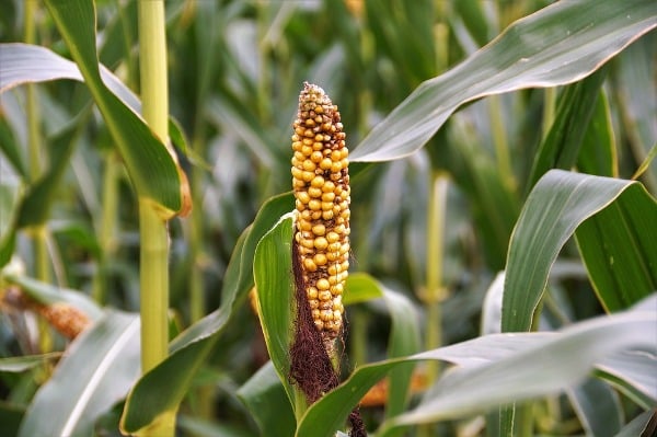
The major objectives of this project are to restore the ecological balance by harvesting, conserving and developing degraded natural resources such as soil, vegetation and water. The outcome envisages prevention of soil erosion, regeneration of natural resources, rainwater harvesting and recharging of the groundwater table. This enables multiple cropping and introduction of diverse agro-based activities which help to provide sustainable livelihoods to the people of the watershed area.
CHALLENGES
A vast number of data from different agencies. Categorizing of different datasets
Ease of access to data and data interpretation.
Predicting future weather patterns
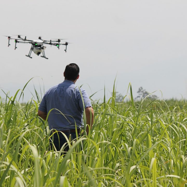
OUR SOLUTION
Our solution was to use a GIS-based solution instead of traditional rows and columns, using GIS meant that each and individual datasets can be accessed as a single data attached entity.